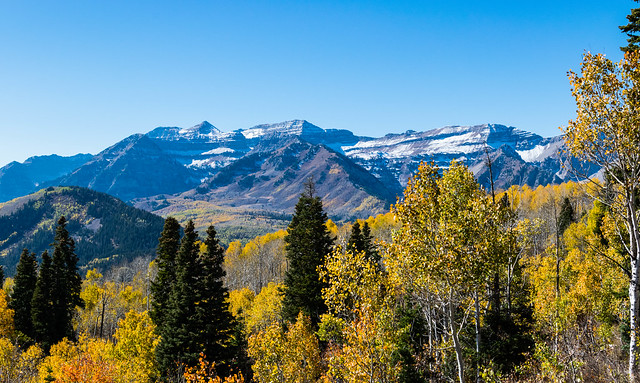
This is a long loop but pretty moderate. Views from the ridge trail are the highlight and can actually be accessed by road.
Utah
Utah, United States
time : Oct 9, 2016 8:01 AM
duration : 6h 21m 23s
distance : 10.7 mi
total_ascent : 3491 ft
highest_point : 8770 ft
avg_speed : N/A
user_id : utfisher
user_firstname : Chris
user_lastname : Patterson
Did a hike from the Mill Canyon trailhead up to ridge trail 157 and then back down. The lower section of the Mud Flat trail down to Tibble Fork reservoir is closed so we had to detour back to Mill Creek. Actually a very mice detour! Something strange happened in the tracking so I think this was more like 14 miles in total and the max elevation was under 9K feet.
More photos at https://flic.kr/s/aHskLzFnUy
More about this trip on my blog at http://utfisher.com/post/mill-canyon-day-hike